Da Nang promotes use of GIS in smart city building
In order to successfully implement the digital transformation programme for sake of sustainable smart city development, Da Nang is building an urban spatial and planning database on GIS (geographic information system) system on a trial basis.
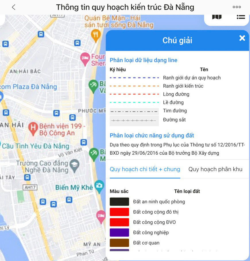 |
| Planning information is provided on the 'Da Nang Architectural Planning Portal' app. Photo: HAI AU |
For the time being, the Department of Construction is conducting the pilot operation of the urban spatial and planning database at https://gisportal.danang.gov.vn/sxd/ and applications on Android and iOS operating systems.
By visiting the aforementioned website, users can look up and exploit planning information on the basis of digital or paper maps according to each type of planning maps.
For instance, on a digital map, users can locate a land plot through the search function by sheet number/plot number.
On the other hand, they can determine the location of the land by entering the coordinates of the land (these parameters can be found in the certificate of land use right or the map of the current position of the land), or by using GPS navigation available in smartphones.
This is the ‘Da Nang Architectural Planning Portal’ app developed and managed by the Department of Construction.
The app is the basis for providing planning information online, help individuals and organisations look up and learn more about the city’s planning information through web apps and smart mobile devices (smartphones and tablets).
In addition, users can also download detailed planning maps, subdivisions and general planning in paper form with approval stamp, copied (scanned) and arranged uniformly into the VN2000 coordinate system.
In fact, the construction of smart cities is the development trend of many cities in the world and in Viet Nam. This is considered an inevitable trend that all provinces and cities from different levels want to aim for green growth and sustainable development.
It can be said that the application of GIS system is a step forward, creating a foundation in the building of a smart city and improving the State's capacity in urban area management.
According the municipal Department of Construction, the ‘Da Nang Architectural Planning Portal’ app provides planning information on the web browser with the data ranges allowed to be exploited. These planning contents are planning documents that have been approved by competent authorities and have sufficient legal grounds for application.
The planning information provided on the app is urban spatial and planning information in the detailed 1:500 zoning planning map, 1:5000 subdivision planning map, and 1:10,000 general planning map, along with information related to approved construction architectures in the city.
Mr. Phung Phu Phong, Director of the municipal Department of Construction, remarked currently, the pilot operation of the app has been completed. His unit is coordinating with relevant units and district-level authorities to summarize detail comments on advantages, disadvantages, efficiency and shortcomings during the pilot process, and then propose specific directions for the next steps.
Reporting by HAI AU - Translating by M.DUNG