Breathtaking aerial views of the city
August 31, 2019, 11:38 [GMT+7]
Over recent years, Da Nang has been focusing on promoting the development of its infrastructure to ensure the city’s sustainable growth. Thanks to the high level of consensus amongst the muncipal authorities and local residents, the city has created a breakthrough in is socio-economic development.
Take a look at some stunning photos from amazing aerial views, taken by our reporter Dang No, which describe how beautiful and dynamic the city is.
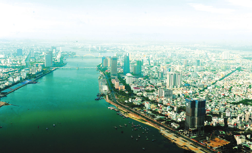 |
| Many high-rise buildings built along the both banks of the Han River |
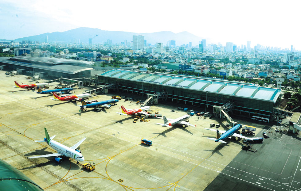 |
| Da Nang International Airport is the largest of its kind in the central region, and the 3rd largest of its kind in Viet Nam |
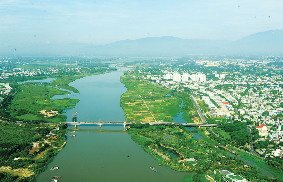 |
| The Cam Le Bridge and the La Huong vegetable growing area (right) |
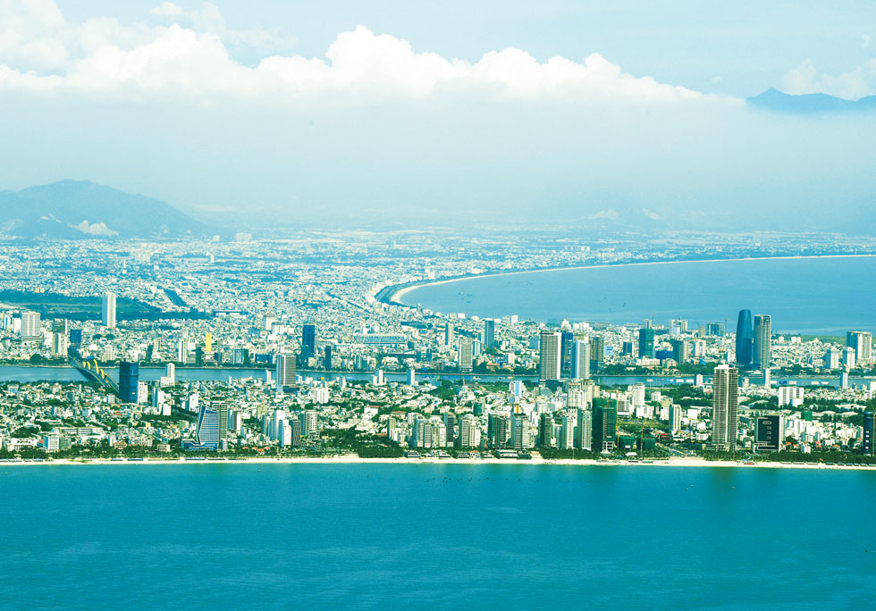 |
| An amazing panorama of the city from sea |
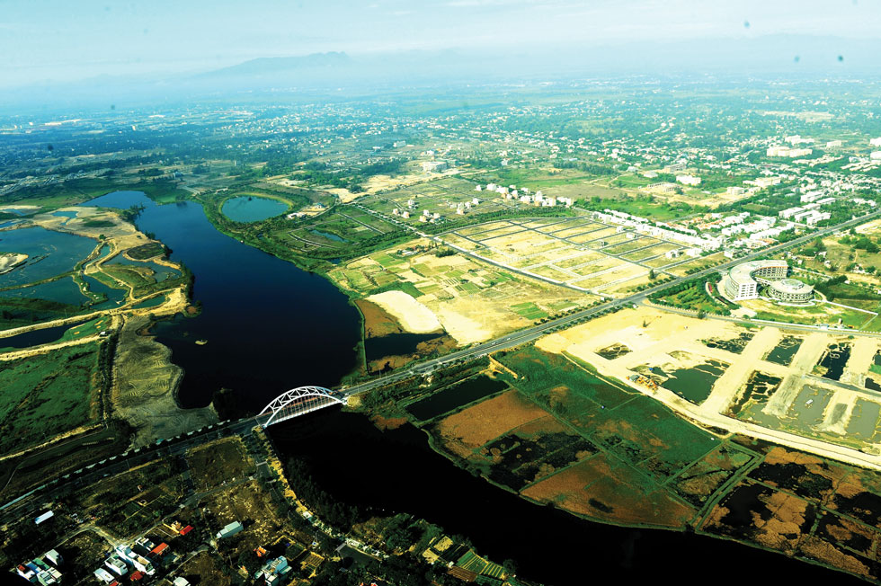 |
| Nam Ky Khoi Nghia Street linking the city centre with residential areas on the western side of the city |
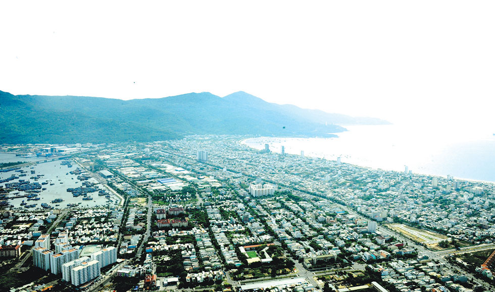 |
| The southern side of the Tho Quang Fishing Wharf |
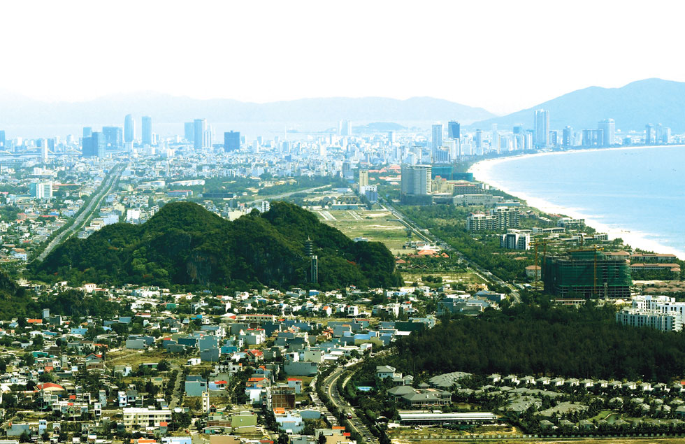 |
| An overview of the coastal Son Tra District from the Marble Mountains |
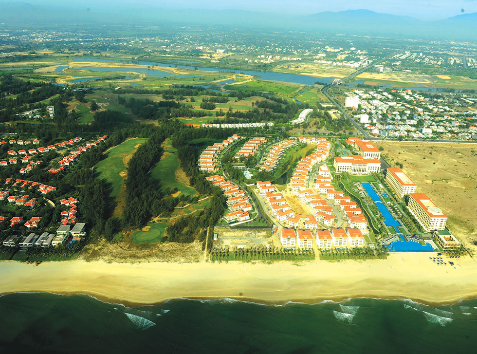 |
| Modern resorts covered with green space along the coastal Truong Sa Street |
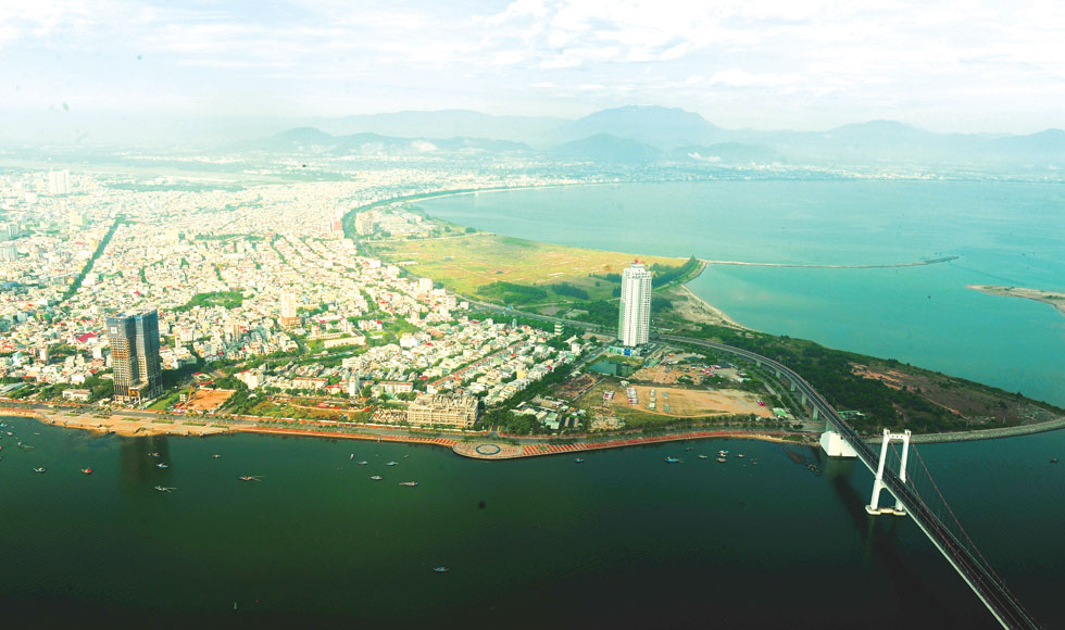 |
| A corner view of the Da Nang Bay |
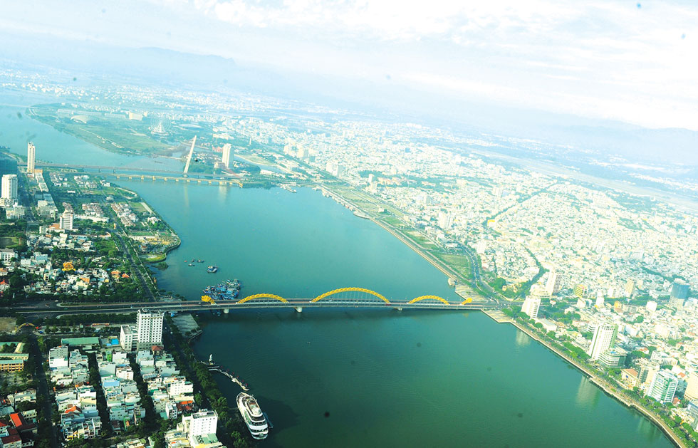 |
| Beautiful bridges spanning the Han River |
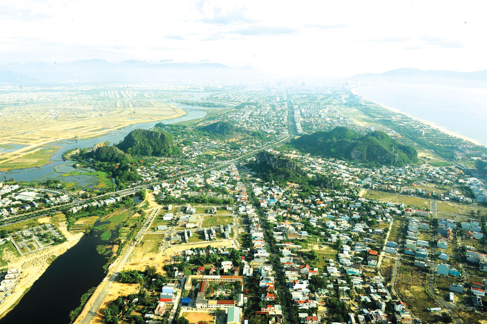 |
| A nice panoramic overview of the Marble Mountains |
.