Tropical depression to evolve into storm, unleash rainy wrath on northern Viet Nam
A tropical depression recently formed in the East Viet Nam Sea is anticipated to strengthen to a storm and to hammer the north with winds ravaging at 75 kph.
 |
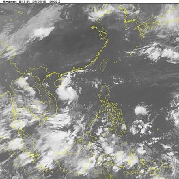
| A satellite image provided by the National Center for Hydro-Meteorological Forecasting of the depression in the East Viet Nam Sea |
The depression was about 220 kilometers away from Viet Nam’s Hoang Sa (Paracel) Islands at 2:00 am on Tuesday, carrying gusts of 60 kph and heading west-northwestwards towards China’s Hainan Island, according to National Center for Hydro-Meteorological Forecasting (NCHMF).
Traveling at 15-20 kph, the depression is expected to strengthen to a storm with winds as high as 9-10 in the Beaufort scale by 1:00 am on Wednesday, when it centered at 17.2 degrees latitude north and 114.1 degrees longitude east, the NCHMF forecast.
Under the effect of the storm, severe rough sea and strong squalls are predicted in maritime areas in the north of the East Viet Nam Sea and in the Paracels while heavy rainstorms and cyclones as strong as 8-9 in the Beaufort scale will rampage provinces and cities in the northeastern region and coastal areas between Quang Ninh and Nam Dinh on Wednesday night, the weather center added.
The typhoon will move northwestwards and enter provinces in the northeast by Thursday at 7:00 am, when it is expected to weaken to a depression packing winds at 40-60 kph before its journey further into the western mountainous areas.
Wreaking havoc on the northern region, the phenomenon will also cause rough seas in the southern seawater of the East Viet Nam Sea and saturate areas from Binh Thuan to Ca Mau Provinces with downpours and high winds, the NCHMF predicted.