Storm Noul brings torrential rain, possible flashfloods and landslides for Da Nang
Da Nang is currently experiencing heavy to very torrential downpour, accompanied with strong winds and possible thunderstorm on Friday, the Mid-Central Region Centre for Hydro-meteorological Forecasting said.
 |
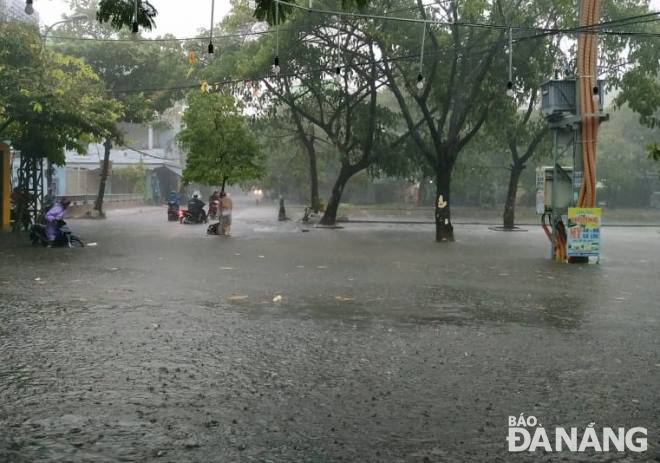
| Heavy flooding seen on Cu Chinh Lan and An Xuan streets in Thanh Khe District's An Khe Ward |
The wet weather is sparked by the strong influence of the storm Noul, which has hit the coast of Quang Binh Province- Da Nang this morning.
In particular, a widespread soaking rain is sweeping across the city during the day.
From 7pm on 17 September and 7am on 18 September, 150 - 250mm of rainfalls were recorded in the city. As a result, many local streets and houses, especially those nearby the Da Nang International Airport, have been submerged in water.
 |
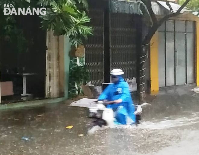
| A road user managing to go through a flooded street |
Weather forecasters said, on Friday afternoon and evening, heavy rain is set to continue for the city as temperature drops again.
Besides, Hoa Vang and Lien Chieu districts are highly predicted to see a high risk of flash floods and landslides in their mountainous areas, whilst a flood watch has been issued for the districts of Hai Chau, Thanh Khe and Cam Le.
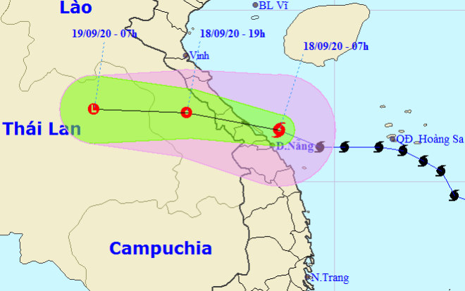
According to the Mid-Central Region Centre for Hydro-meteorological Forecasting, at 8.00am on 18 September, the 5th storm was positioned at latitude 16°6’N and longitude 108°2’E, right on the coast of Quang Binh Province-Da Nang. The strongest wind speed near its centre will be 75-90kph at level 9, with a gust of level 11.
 |
| The expected track of the storm (Source: The National Centre for Hydro-Meteorological Forecasting) |
Over the next 12 hours, the storm is predicted to move in a west direction at a velocity of 25 kph. It will then make landfall in the localities from Quang Binh to Thua Thien Hue provinces, with maximum sustained wind speeds near its center reaching 60-90kph (levels 8-9), gusting at level 11. The storm is likely to weaken into a tropical depression.
At 7.00pm on Friday, the tropical depression is likely to be located at latitude 17°N and longitude 105°7'E, right in Central Laos.
By HOANG HIEP, DKTTVTTB - Translated by M.D