Storm Dujuan 'more likely' to weaken before entering East Sea
Tropical storm Dujuan (also known in the Philippines as Auring), which is on its track northwest in the southeastern Philippine Sea, is forecast to decrease its intensity before entering the East Sea in the next few days.
 |
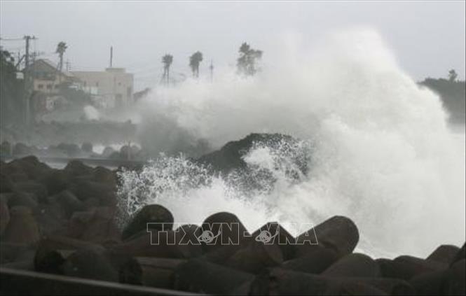
| Illustrative image (Photo: Internet) |
The Hong Kong Observatory, the Official Authority For Hong Kong Weather Forecast, said, in its latest bulletin, Dujuan now has maximum sustained winds of 75km/h and gustiness of up to 90 km/h. It is expected to make landfall in the Dinagat Islands-Eastern Samar-Leyte area in the Philippines between Sunday evening, 21 February, and early Monday morning, 22 February.
According to Viet Nam's National Center for Hydro-meteorological Forecasting, Dujuan is predicted that the storm intensity will significantly decrease before entering the East Sea in the next few days due to "significant terrain interaction and persistent vertical wind shear," or air from the northeast monsoon.
The storm is set to bring heavy rainfall, strong winds, and rough seas to Vietnamese coastal areas over the coming days. Sustained heavy rainfall and thunderstorms near the centre of the storm may endanger fishing boats operating in the southeast part of the East Sea.
Under the influence of the storm and its circulation, some parts of Central Viet Nam from Da Nang to Binh Thuan may experience sunny weather in the daytime but scattered showers in the nighttime, along with north-easterly winds at level 2/3.
In the days ahead, these central regional localities are expected to see the lowest mercury hovering at from 19 - 22 degrees Celsius, whilst the highest to be recorded at between 28 -31 degrees Celsius.
By Bao Tin Tuc - Translated by M.D