Urgent action needed to cope with floods, flash floods, landslides triggered by heavy rain
The Mid-Central Region Centre for Hydro-meteorological Forecasting has said that moderate to heavy rain is likely to continue in most parts of Da Nang until Tuesday, October 11 while few places could receive very heavy rainfall.
The total rainfall amount will be 80-180mm in common in these areas while more than 250mm of rain could fall in some places.
A high wind warning is in in effect for the waters off Da Nang on Monday as these areas could see strong winds at level 6 with gusts as high as level 7, and with rough seas and waves as high as 2m to 3m under the influence of the northeast monsoon.
 |
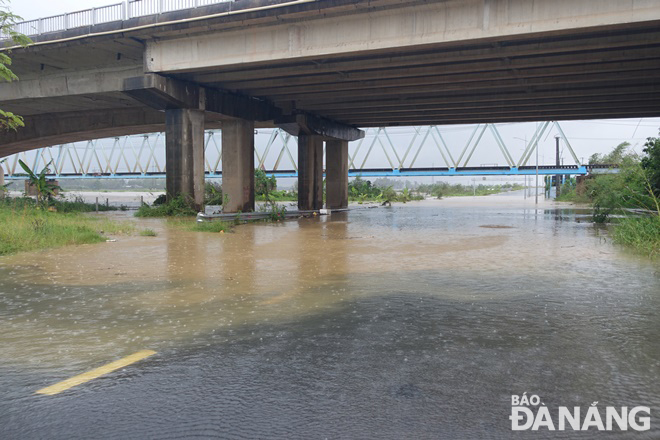
| National Highway 14G has gone underwater after the Tuy Loan River burst its banks, causing travel disruption from Da Nang’s Hoa Vang District to Quang Nam province’s Dong Giang District. Photo: HOANG HIEP |
The Da Nang Steering Committee for Disaster Response and Search and Rescue is urging authorities at local level and relevant units to take appropriate precautionary measures to cope with floods, flash floods, landslides brought by heavy downpours due to the arrival of the northeast monsoon, as well as and minimise losses owing to heavy rain. The focus should be attached to ensuring the safety of the reservoirs, especially Hoa Trung and Dong Nghe, releasing the surplus water and protecting the dams, desilting canals, and facilitating the recharge of ground water besides avert damage due to floods.
The Da Nang Border Guard Command is asked to work with Da Nang Coastal Information Station to keep a close watch on severe weather development, and keep owners of vessels operating at sea timely informed about severe weather conditions in order to help them take the initiative to avoid dangerous areas or seek safe shelters during the bad weather. Special attention must be given to making the resources available in order to organize timely rescue of any person in distress at sea and provide timely support for those who need it during severe weather.
All necessary measures are needed to move people living in low-lying areas, along rivers and streams and areas at high risk of flash floods and landslides to safe places. High priority should be given to evacuating people from riverside properties along Yen, Tuy Loan, and Cu De rivers in communes of Hoa Tien, Hoa Khuong, Hoa Bac, Hoa Lien, Hoa Phu, Hoa Phong, and Hoa Son and moutainous areas in Hoa Vang District, Son Tra Peninsula and other high risk areas for flash floods and landslides in line with municipal government-approved plan in an effort to protect the safety of local people during bad weather.
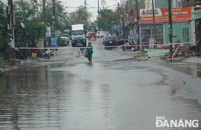
Heed must be paid to deploying personnel to deeply flooded streets to set up vehicle barriers to stop driving through deep water in order to ensure the safety of road users. Importance is attached to resolutely banning people from travelling or fishing on rivers, low-lying areas, flooded areas, underground passages, flooded bridges, forests, mountains and landslide prone areas.
Special attention must be paid to taking proactive measures to immediately cut off power supply in deeply flooded areas, reinforce electric concrete poles to prevent falling in inclement weather conditions, ensure power supply for flood control pumping stations, and restore power as quickly and as safely as possible to affected areas.
Heed must be must keeping a close watch on severe weather development, and keep local residents timely informed about severe weather conditions in order to help them protect their property from heavy rains and flooding. In addition, importance must be attached to assisting local residents to prepare for heavy rains in an attempt to reduce the risk of possible damages.
 |
| Queues of vehicles in front of a safety barrier waiting to cross National Highway 14G to continue their journey to Quang Nam province’s Dong Giang District as the road is submerged under water. |
 |
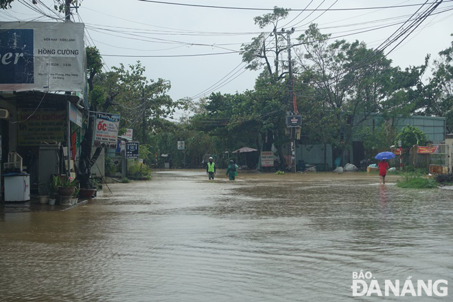
| The Cam Le River has overflowed its banks after heavy downpours, causing deep water move into a low-lying section of Thang Long Street. |
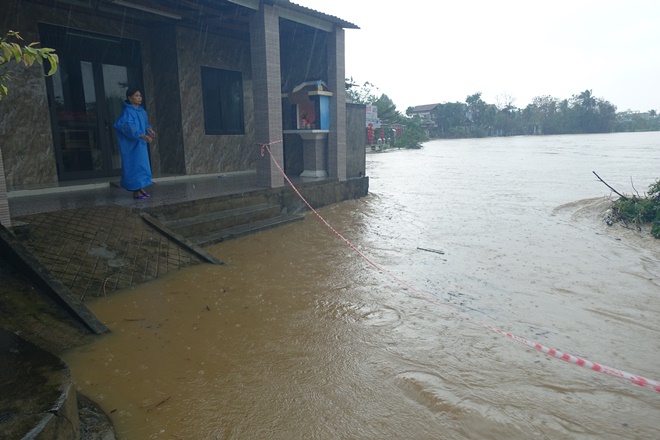 |
| The rising water level on Tuy Loan River threatening residents living in low-lying areas along the river. |
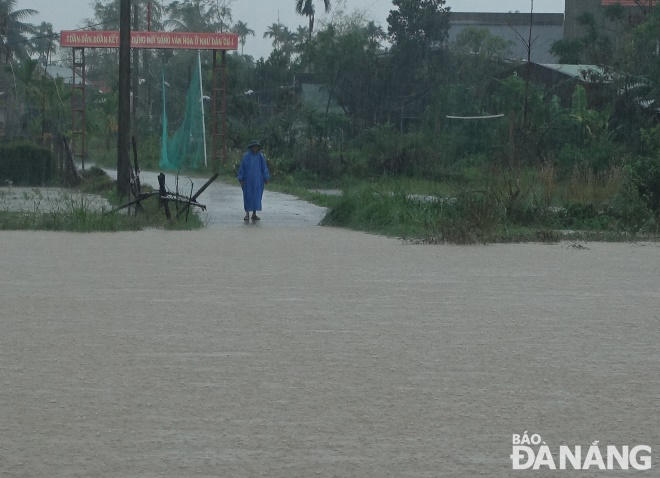 |
| A concrete road linking Hoa Vang District’s Hoa Tien commune with Dien Tien commune, Dien Ban Town, Quang Nam province is submerged in the deep. |
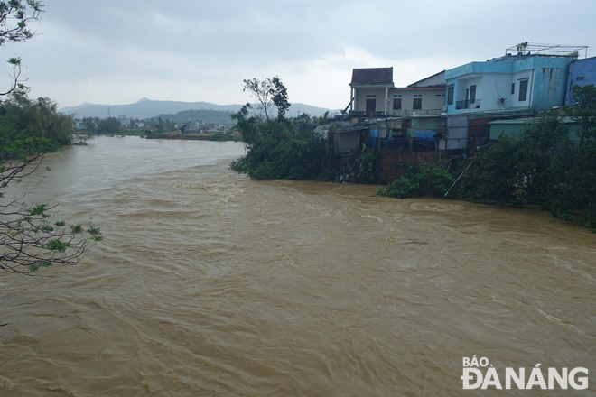 |
| Fast moving rising water levels on Tuy Loan River. |
Reporting by HOANG HIEP – translating by H.L