Viet Nam to complete legal corridor for remote sensing activities
The Ministry of Natural Resources and Environment (MONRE) recently proposed a draft decree on remote sensing activities.
 |
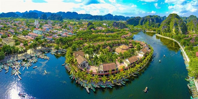
| Tam Coc-Bich Dong, a popular tourist destination in Ninh Binh province and part of the Trang An Scenic Landscape Complex UNESCO World Heritage site from above (Source: VNA) |
The decree aims to complete policies on the use of high technology in managing natural resources and the environment.
Remote sensing technology has been an important tool for the assessment and management of natural resources, environmental pollution, natural disaster prevention and security and defence in Viet Nam for years.
However, State management of this field was only officially applied in 2013 with a decree regulating the function, rights, obligations and organisation of MONRE, including the official establishment of the Department of National Remote Sensing.
After five years, a system of legal documents has been reviewed and supplemented. But it still lacks a legal basis for remote sensing, according to the ministry.
MONRE is drafting a decree on remote sensing, specifying principles in these activities such as providing remote sensing images for basic and professional survey and mapping, regularly updates of data and information, monitoring natural resources and the environment, search and rescue, disaster prevention, response to climate change and ensuring national defence and security.
The national remote sensing database will be maintained, operated and updated regularly and used to update the national geographical spatial system.
According to the ministry, the policy framework, legal documents, standard system and technical regulations of remote sensing will be formulated by 2025 and legal framework will be completed by 2030.
MONRE will build and develop a network of remote sensing data receivers (fixed stations, mobile stations and virtual stations), control stations, remote sensing data processing and remote sensing data transmission networks to provide remote sensing data to ministries, sectors and localities.
Human resource development, scientific research, the development of remote sensing technology and expanding international cooperation on remote sensing with other countries will be strengthened.
The ministry will publicise the planning and list of investment projects to encourage domestic and foreign organisations and individuals to participate.
There will be preferential policies to attract domestic and foreign investors to carry out projects in Viet Nam.
The draft will be proposed to the National Assembly to promulgate the Law on Remote Sensing and submit to the Prime Minister a master plan on development of the national remote sensing.
(Source: VNS/VNA)