Viet Nam’s first railway line, 71kms long, was built between 1881 and 1885 to link Sai Gon with My Tho City. Subsequently many other routes were built across the country by the French colonialists.
By 1936, the construction of a national rail network had been completed and officially put into operation, with 7 main routes connecting 35 cities and provinces.
Now, the number of main rail routes in the country has reduced to 5, with a total length of around 2,600km. The lines pass through pristine forests, over romantic rivers, near picturesque beaches and close to famous attractions.
Here are some photos which show the variety of scenery along the railway network. They were taken by photographer Le Duc Thanh from Quang Binh Province’s Dong Hoi City.
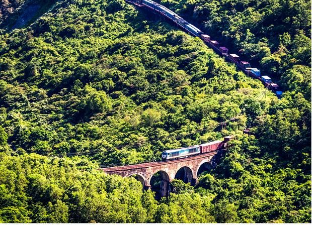 |
| The Hai Van Pass is the geographical boundary between Da Nang and Thua Thien-Hue Province |
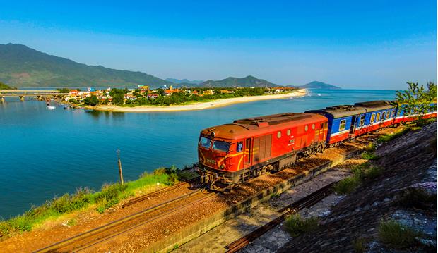 |
| Lang Co Beach in Thua Thien-Hue Province |
 |
| Duc Pho Beach in Quang Ngai Province |
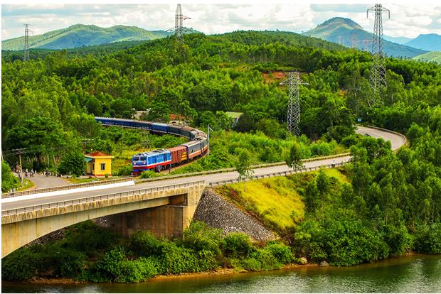 |
| Long Dai River in Quang Binh Province |
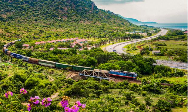 |
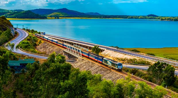
| Near Ca Na Beach in Ninh Thuan Province |
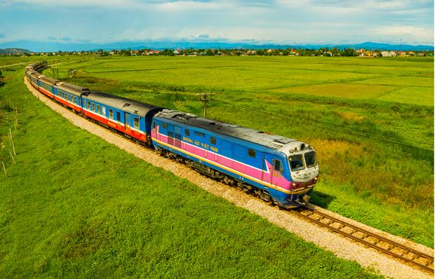 |
| A rice field in Nghe An Province |
 |
| The Ham Rong Bridge in Thanh Hoa Province |
.


