Tropical storm Vamco set to enter East Sea on Thursday with growing intensity
Freshly-spotted storm Vamco, formed out of a tropical depression in the Philippine Sea on Monday, is likely to pick up intensity to become a typhoon on Wednesday, 11 November, prior to its landfall in the Bicol Region- Quezon area later, packing the maximum winds of level 13, and a gust of level 15.
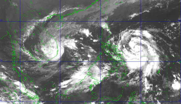 |
| Storms Etau and Vamco tracking map (Photo courtesy of NCHFM) |
These projections have released by the Philippine Atmospheric, Geophysical and Astronomical Services Administration (PAGASA) in its latest bulletin.
Of special note, AccuWeather meteorologists warn that Vamco will track within a region of light wind shear and warm ocean water, ingredients that tropical cyclones need to strengthen.
Vamco, as a result, may quickly strengthen into the equivalent of a Category 3 hurricane on the Saffir-Simpson Hurricane Wind Scale, with maximum sustained winds of 179-208 kph.
Vamco has high likelihood of hitting the northern Philippines with winds of this intensity on Wednesday.
This can lead to another round of widespread damage across areas already battered by tropical systems during the past few weeks.
After sweeping across the Philippines during the middle of the week, Vamco is expected to move westward and could threaten Viet Nam by this weekend, potentially impacting Viet Nam with another round of strong winds and flooding rainfall.
Vamco is expected to enter the East Sea on Thursday after sweeping through the Bicol Region- Quezon area, proclaiming itself as the 13th storm to hit Viet Nam this year, Viet Nam's National Hydrology Meteorology Forecast Centre (NCHFM) said.
Meanwhile, storm Etau, the 12th storm, is on course of striking localities from Phu Yen to Ninh Thuan.
After moving over the land of the affected south central localities, this storm will gradually weaken into a tropical depression, then a post-tropical low remnant after that, and finally, dissipate.
By 4.00am on Wednesday, 11 November, the remnants of the storm are expected to make its berth above eastern Cambodia, with the strongest winds dropping significantly to below level 6.
This weekend and subsequent days, Da Nang is forecast to see cloudy and soaking weather with scattered showers in some of its parts.
Its thermometers should kept unchanged at between 21 to 28 degrees Celsius in the daytime, and turn a bit chilly in the night time.
From Tuesday into to Thursday, 12 November, the parts from Quang Tri to northern Khanh Hoa are heavily soaked with the total average rainfall of 150-300mm.
Likewise, Thua Thien Hue and Quang Nam, both of them are Da Nang’s neighbours, are bracing for the rain accumulation of even 400mm.
The lesser rain amount hovering at 100-200mm is measured in Central Highlands.
Portions of Central Viet Nam received 1,270-2,540 mm (50-100 inches) during last month which led to widespread and deadly flooding there.
By NCHFM- Translated by A.T