Heavy rains continue to lash Central Viet Nam until April 6
Weather warnings and flood alerts remain across South Central Coast and Central Highlands as more heavy rainfall continues to lash these areas from Sunday night into Wednesday, April 6.
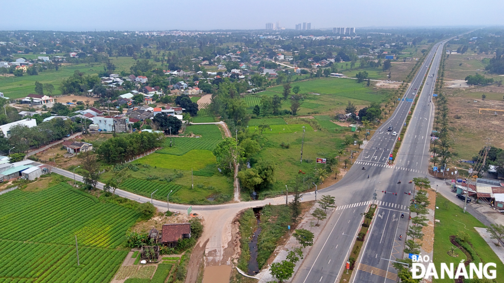
Viet Nam’s National Centre for Hydro-Meteorological Forecasting predicts that moderate to heavy rainfall is likely to continue across the parts from Da Nang to Khanh Hoa and the Central Highlands, with extremely heavy rain likely in some places.
There are also warnings of thunderstorms, lightning strikes, high winds, tornadoes and hail in these areas.
Forecasters have also issued warnings of flash floods and landslides for mountainous areas, and localized flooding alerts are in place in low-lying and riverside areas.
The total rainfall amount will be 100mm-150mm in common in Da Nang and Quang Nam from early morning hours of Monday into Tuesday, April 4 while more than 200mm of rain could fall in some places.
Rainfall warnings have also been issued for a widespread soaking rain that could dump as much as 100mm-200mm of rain in Quang Ngai and Binh Dinh provinces, and even more than 250mm in some places.
Sunday night into Wednesday, April 6, Phu Yen and Khanh Hoa provinces could receive between 100mm and 180mm of rain, with more than 150mm possible in some places.
As much as 70mm-120mm of rain could fall over Central Highlands, and even more than 150mm in some places during April 4 -5.
The North of the East Sea (including the Hoang Sa (Paracel) Islands), will see northeast winds at level 7, and gustiness of levels 8 to 9, and experience rough seas with waves as high as 3m -5m.
The offshore areas stretching from Quang Tri to Quang Ngai, including Da Nang, could see gradually increasing winds at levels 6 to 7, and the gusts reaching levels 8 to 9, as well as experience rough seas with waves as high as 3m-5m.
The northern part of the region from Thanh Hoa to Thua Thien- Hue on Sunday, April 3, could continue to witness scattered showers while the southern part is likely to see rainfall in the morning hours with possibility of thunderstorms in some places. By the coastal areas they will see high winds at level 4, and farther inland you could find north and northwest winds at level 3. These areas will see chilly temperatures at night into the morning hours. Maximum and minimum temperatures will hover around 20-23 degrees Celsius and 15-18 degrees Celsius in these areas.
The northern part of the region from Da Nang to Binh Thuan today could continue to witness showers during the morning and night hours with possibility of thunderstorms in some places while the southern part is likely to see light rain with a chance of thunderstorms in some places. These areas will see cold temperatures for the morning and night hours. Temperatures in these areas can expect lows of 19 to 22 degrees Celsius and 22 to 25 degrees Celsius, and highs of 24 to 27 degrees Celsius and 28 to 31 degrees Celsius in the northern and southern parts respectively.
Showers are expected across the Central Highlands during late afternoon and night hours and there is a chance of thunderstorms in some places. Northeast wind at level 3 may reach the region. Maximum and minimum temperatures will hover around 29-32 degrees Celsius and 18-21 degrees Celsius.
Reporting by HOANG HIEP – Baotintuc- Translating by H.L