Da Nang's low-lying areas flooded after heavy rains cause rivers to burst their banks
By 8:00 p.m. on Tuesday, water level on the Vu Gia River at the part of the Ai Nghia Hydrological Station located in Da Loc District, Quang Nam Province, reached 8.66m, just 0.34m below alarm level 2 as a result of heavy rains. The water level on the Yen River are rising while that on the Cu De and Tuy Loan rivers have reached flood stage.
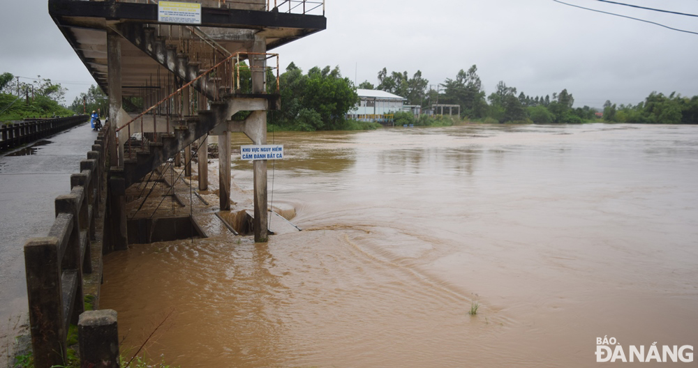 |
| The water level on the upstream of the An Trach Dam on the Yen River is expected to hit its peak at early Wednesday morning. Photo: HOANG HIEP |
The A Vuong, Song Bung 4 and Dak Mi 4 hydropower plants are switching to operate for flood reduction in the downstream of the Vu Gia River.
Discharges from reservoirs of these hydropower plants into the downstream of the Vu Gia River were only 779 m3/s while the amount of floodwaters flowing into these reservoirs was 2,806 m3/s.
The water level on the upstream of the An Trach Dam on the Yen River is rising at a speed of 8cm per hour.
The Yen River is expected to overflow its banks on early Wednesday morning, sending a large amount of water to flood some low-lying areas of Hoa Tien Commune, Hoa Vang District on Tuesday night and Wednesday morning.
Meanwhile, the Tuy Loan River has crossed the danger mark, flooding some roads and residential areas in Hoa Phong Commune, Hoa Vang District.
Flooding from the Cu De River which overtopped their banks has left the Loc My Village isolated and residential areas of Nam Yen village in Hoa Bac Commune underwater.
The Mid-Central Region Centre for Hydro-meteorological Forecasting has issued flood warnings for the Vu Gia River and others in Da Nang, until Saturday, November 18 as these rivers could face flood risk. The water level on the Vu Gia River is likely to reach its peak to reach alarm levels 2 to 3 while that on other rivers in Da Nang, is expected to reach alarm level 1 and below the alert level 2 threshold.
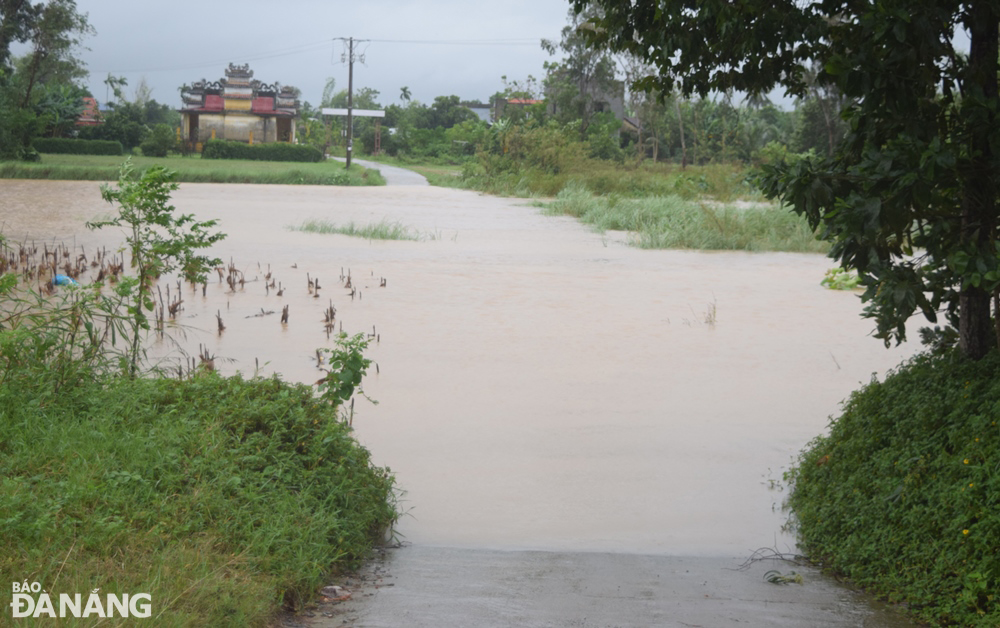 |
| The low-lying road connecting Hoa Tien Commune to Dien Tien Commune, Dien Ban Town, Quang Nam Province was submerged under water on Tuesday afternoon after the Yen River overtopped its banks as a result of heavy rains. Photo: HOANG HIEP |
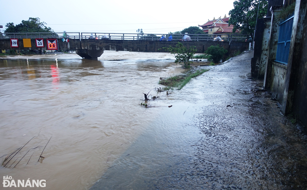 |
| Overflowing Tuy Loan River caused flooding in a riverside road. Photo: HOANG HIEP |
Reporting by HOANG HIEP – Translating by H.L