
National weather service predicts 1-2 named storms hitting the country in Nov.
Viet Nam’s National Center for Hydro-Meteorological Forecasting (NCHMF) predicts 1-2 named storms or tropical depressions that will move into the East Sea in November, and pose direct threat to Viet Nam.
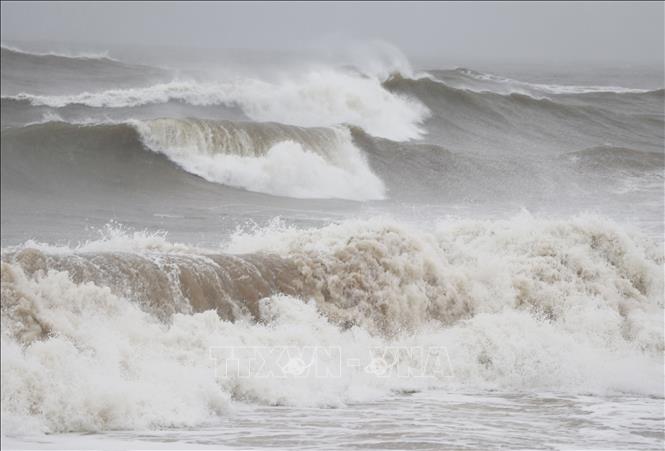 |
| Illustrative image (Source: TTXVN) |
The November average temperature in the northern region, north central coast, and mid-central region will be about 1-2 degrees Celsius above previous years while the temperatures in south central coast, central highlands and the southern region may be 0.5-1 degrees Celsius above previous years.
The November precipitation total for northwestern region and the parts from Thanh Hoa to Northern Nghe An, the northeast region will be 10-20%, 15-30%, respectively, lower than the average amount which fell in previous years while the rainfall in the parts from Southern Nghe An to Quang Tri may increase by 5-15% national forecasters said.
The Central region and Northern Central Highlands are likely to witness a decline of 10-25% in total rainfall compared with the average amount which fell in previous years while an increase of 10-20% and 20-30% in total rainfall is in forecast for Southern Central Highlands and the Southeast region, and the Southwest region, respectively.
Increases in the frequency of cold spells are in forecast for localities nationwide in November but cold waves are expected to become milder.
Rounds of moderate and heavy rains are likely to continue lashing the Central region this month. There is a chance of showers and thunderstorms in the forecast for many days in the first half of November over Central Highlands and the Southern region.
Thunderstorms can produce tornadoes, lightning, hail and strong winds which will greatly affect the production and social life nationwide.
There is a weather warning for strong winds and big waves brought by tropical storms or tropical depressions, and cold waves which will greatly affect marine and fisheries activities nationwide.
The Central region has entered the peak of the rainy season. As per the national weather service, the wet weather pattern in the region is attributed to the combined effects of the intertropical convergence zone and high-altitude easterly winds.
The national forecasters have warned that soaking rain would carry major risks of landslides and flash floods in the central region.
Forecasters have issued warnings of flash floods and landslides for mountainous areas, and localized flooding alerts are in place in low-lying and urban areas. Residents in the central region, including Da Nang, are advised to monitor future forecasts and warnings to take all the steps to protect themselves and their property during heavy rains.
The advisory urges residents to ‘be aware’ of inclement weather. Residents in affected areas are advised to get ready for such weather conditions in an attempt to reduce the risk of possible damages.
Authorities in the central region are asked to take appropriate precautionary measures to cope with floods, flash floods, landslides brought by heavy downpours, as well as minimize losses owing to heavy rain.
Importance must be attached to keeping a close watch on severe weather development, and keeping local residents timely informed about severe weather conditions in order to help them protect their property from heavy rains and flooding. In addition, focus must be paid to assisting local residents to prepare for heavy rains in an attempt to reduce the risk of possible damages.
Reporting by Baotintuc – translating by H.L


