Temperature during stormy season 2024 predicts to be higher than many-year average
The Mid-Central Region Centre for Hydro-meteorological Forecasting, on Tuesday, issued Official Letter No. 03/DTTB providing information on weather and hydrological forecasts for the 2024 stormy season in the Mid-Central region (from Quang Binh to Quang Ngai provinces).
 |
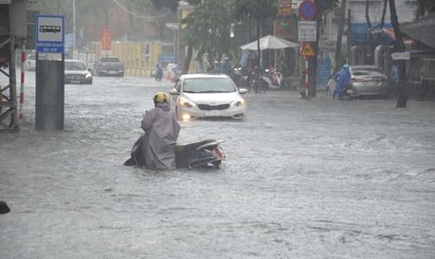
| Ilustrative photo. Photo: Internet |
Accordingly, from September to the end of 2024, the weather is likely to shift to La Nina status with a probability of 65-75%. The hot weather will locally occur in the first half of September, and then it is likely to end. The temperature trend during the 2024 stormy season is still mainly higher than the average of many years, in which, from September to November, the temperature in localities is 0.5-1 degree Celsius higher than the average temperature of many years.
From now until the end of 2024, there will be about 7-10 storms or tropical depressions operating in the East Sea (approximately higher than the average of many years), of which about 3-4 will affect the weather in the mid-Central region.
The rainy season in the mid-Central region is likely to end later than the average of many years, with the possibility of 6-9 widespread heavy rains during the main period of the rainy season (from September to December) with total rainfall approximately equal to and 10-30% higher than the average of many years.
From the end of October to November, cold air will gradually become stronger, combined with low troughs or tropical convergence zones, easterly wind disturbances, storms or tropical depressions causing widespread heavy rain.
Between September and December, there is a possibility of 4-7 floods on rivers in the mid-Central region, with the highest flood peak likely to be approximately equal to, higher than in 2023 and the average level of many years. The biggest floods of the year occurs mainly in October and November. The sea area from Quang Binh to Quang Ngai provinces is likely to experience sea waves of 2-3m high, the sea area in the Hoang Sa Archipelago to witness sea waves of 2-4m high, and the sea area near the centre of the storm or tropical depression is likely to have sea waves of 3-7m high.
The Mid-Central Region Centre for Hydro-meteorological Forecasting has also warned that from the end of August to the beginning of September 2024, the saltwater intrusion will continue to occur in the downstream of rivers.
From September to December, it is necessary to be on guard against flash floods and landslides.
Reporting by HOANG HIEP - Translating by M.DUNG


